
So it is no mystery that one of my favorite places on this planet is Yosemite National Park and the Sierra Nevada mountain range. It was the first place I went with my parents after being born and I imagine that I will continue to go there right up until I die. My favorite part of Yosemite is the high country - places like Glacier Point and the country you drive through when you are on Tioga Pass and Sonora Pass roads. There is just something about granite that I love.
Since Memorial weekend was my birthday weekend, I decided that in addition to seeing the before mentioned concert and Sequoia National Park, I wanted to visit Yosemite as well to take some shots of the waterfalls while they had a pretty decent waterflow going. The thing about the waterfalls in Yosemite is that most of them do not run year round and some of them have very small drainage areas so they don't run that long even in the wet season. Turns out that because of an exceptionally deep snowpack this year an impressive waterfall season is occurring and it is lasting a long time.
The day started out in Fresno. I rarely enter the park from the Highway 41 entrance because to do so from the Bay Area takes you really far out of your way. It was nice to go this way this time however because it was a great change of scenery. I had forgotten about the Sugar Pine Railroad (one of the stops you can make on the way in or out of the park) - you can take an open air train ride while they explain to you the history of the railroad. This is the south entrance to the park and it brings you in near the Mariposa Grove of sequoia trees and you have to drive through the Wawona area to get to the valley.
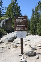
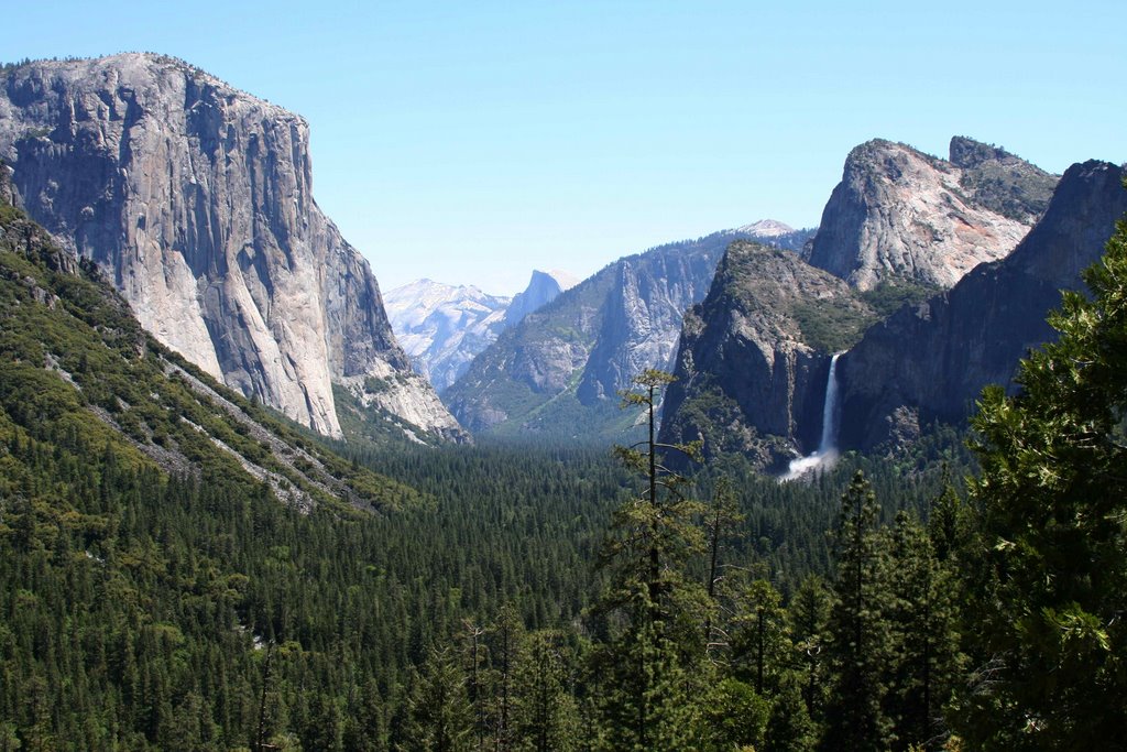
The first stop of the day though was Glacier Point. Louis had never been up there before so I had a dual purpose in going up there - first so that Louis could enjoy the view and second to scout out the trailhead for the big Half Dome hike. I have included a picture of the trailhead to the left. I never get tired of the view from up there, it is amazing. You are 7200 ft above sea level and about 3200 ft above the valley floor - not a place to be if you are afraid of heights though that is for sure! I always forget to bring binoculars so that I can check stuff out. There is so much to take pictures of up there that you can spend lots of time drinking in the scenery. Besides you get a birds eye view of several waterfalls: Nevada, Vernal. Pywiack, Royal Arch, Yosemite, and Staircase.
Next stop was the vista point area right after the tunnel on Hwy 41 (pictured above). This is the classic postcard shot of the U-shape of the valley. From here you see big landmarks - El Capitan, Clouds Rest, Half Dome, and the hanging valley of Bridalveil Falls. You can also see a couple more waterfalls from here: Silver Strand and Ribbon.
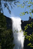
After the vista point, the next must stop is at the base of Bridalveil Falls. During this time of year you can not get close to the base of the falls without getting wet. This waterfall is very powerful when the flow of water is high. It also has a unique water flip a the top because of the wind. The parking lot at the base of this waterfall was the most full that I had ever seen. I was lucky though, I got a spot pretty much right away. I didn't feel like being wet so I took a short walk to a couple of the bridges over Bridalveil creek that gave me views of the waterfall without the mist.
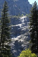
The next stops were along the side of the road of the loop that goes around the valley. From here I get good views of waterfalls and landmarks. I got shots from different views of Ribbon Falls, El Capitan, Bridalveil Falls, Sentinel Falls, Yosemite Falls, Lehamite Falls, Half Dome, Clouds Rest, Royal Arches and many more. We ended up in Curry Village so that we could have a small snack.

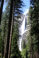
After we were done there we were off to hike to the base of Lower Yosemite Falls. This is a short and crowded trail but there is a reason for that, the waterfall is beautiful. Also on my list to experience is hiking up the trail to the top of this waterfall. I was going to do it a few weeks ago but my knee kept me from making it. I just may have to take a day sometime to drive up and do the hike.
The last thing that I did that day before we headed back for dinner in Fresno was I got a shot of the Cascades from across the valley. I had to hop over a granite wall to get down far enough on the granite slab so that I could have an unobstructed view of the waterfall but it was all worth it and I made sure not to get too close to the edge because I know what that cliff looks like from the Cascades. Louis was not happy at all with my actions but I did get the shot I wanted and I am still in one piece (besides it wasn't that dangerous).
I know I usually rate the waterfalls I visit but I am still thinking about if I want to rate the waterfalls in Yosemite Valley or not. For now, I think I will just post the pictures and I can add the ratings later if I decide to rate them.
The Cascades

Silver Strand Falls

Bridalveil Falls

Ribbon Falls

Horsetail Falls (low flow)

Yosemite Falls
Lehamite Falls

Staircase Falls
Sentinel Falls

Royal Arch Cascade

I can't wait to go back for the Half Dome hike!


 So it is no mystery that one of my favorite places on this planet is Yosemite National Park and the Sierra Nevada mountain range. It was the first place I went with my parents after being born and I imagine that I will continue to go there right up until I die. My favorite part of Yosemite is the high country - places like Glacier Point and the country you drive through when you are on Tioga Pass and Sonora Pass roads. There is just something about granite that I love.
 The first stop of the day though was Glacier Point. Louis had never been up there before so I had a dual purpose in going up there - first so that Louis could enjoy the view and second to scout out the trailhead for the big Half Dome hike. I have included a picture of the trailhead to the left. I never get tired of the view from up there, it is amazing. You are 7200 ft above sea level and about 3200 ft above the valley floor - not a place to be if you are afraid of heights though that is for sure! I always forget to bring binoculars so that I can check stuff out. There is so much to take pictures of up there that you can spend lots of time drinking in the scenery. Besides you get a birds eye view of several waterfalls: Nevada, Vernal. Pywiack, Royal Arch, Yosemite, and Staircase.
 After the vista point, the next must stop is at the base of Bridalveil Falls. During this time of year you can not get close to the base of the falls without getting wet. This waterfall is very powerful when the flow of water is high. It also has a unique water flip a the top because of the wind. The parking lot at the base of this waterfall was the most full that I had ever seen. I was lucky though, I got a spot pretty much right away. I didn't feel like being wet so I took a short walk to a couple of the bridges over Bridalveil creek that gave me views of the waterfall without the mist.
 After we were done there we were off to hike to the base of Lower Yosemite Falls. This is a short and crowded trail but there is a reason for that, the waterfall is beautiful. Also on my list to experience is hiking up the trail to the top of this waterfall. I was going to do it a few weeks ago but my knee kept me from making it. I just may have to take a day sometime to drive up and do the hike.


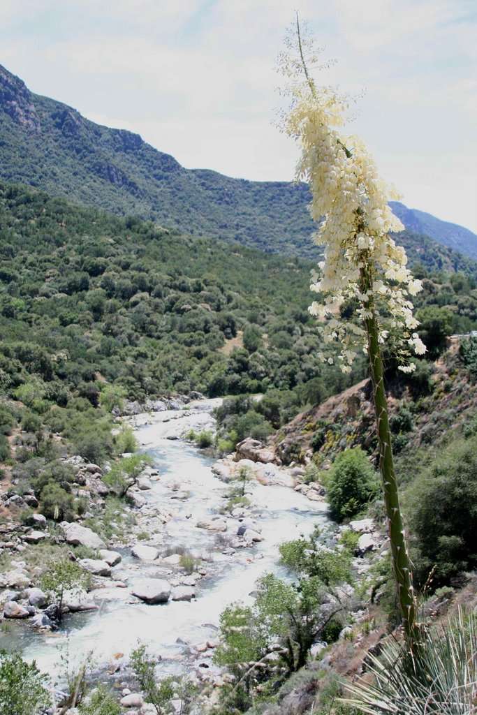
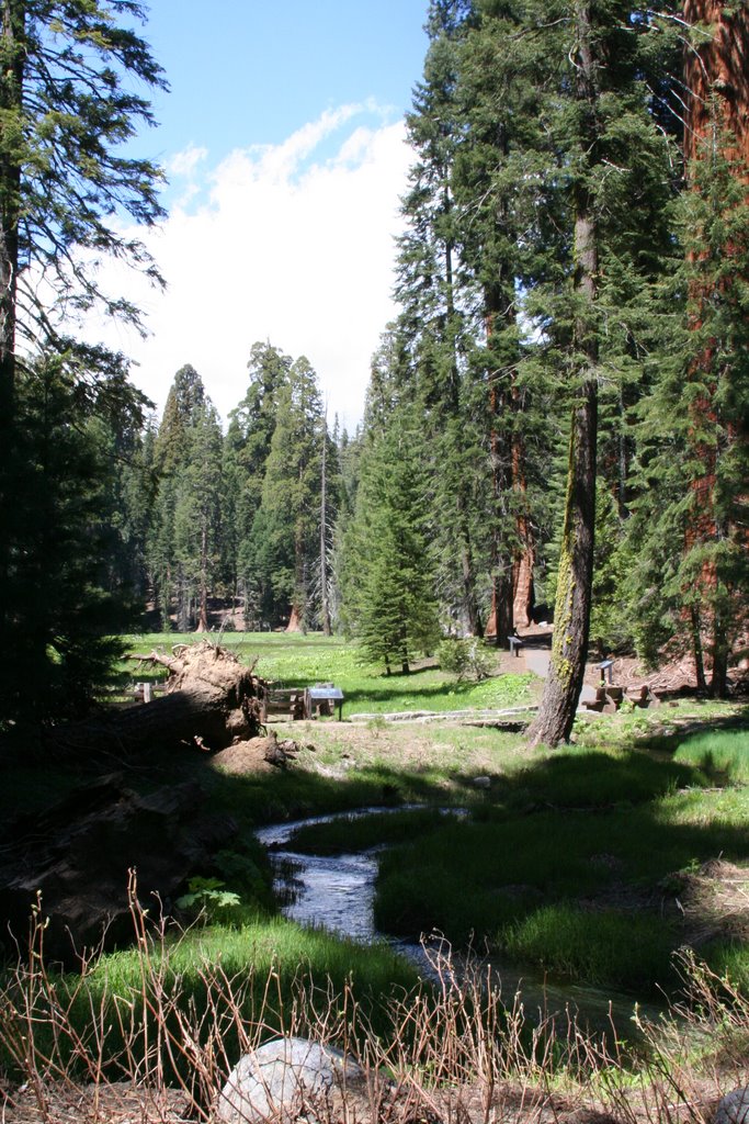 Sunday was spent driving up to Sequoia National Park and doing a bit of hiking. I haven't been to this national park since around 1996 or so. The last time I was there was on a company trip when I worked for Wintec Industries in Fremont. When that company was still small the owners, as a perk, paid for everyone to take a bus trip from the bay area down through Sequoia Natl park with a stop at the London Bridge in Arizona on the way to Las Vegas, Nevada. It was a pretty cool trip and strangely enough the person who went with me on that company trip was my cousin Carrie. That was the first time that Carrie and I had taken a trip together where it was just the two of us. She was too young to gamble (I might have been at the time too I am not sure what month we took that trip that year) so we just ended up walking and walking and walking checking out the sights. I think we both had a blast. Anyway, that was the last time I had been up in Sequoia National Park. It was crowded this time but I expected that because of the holiday weekend. I got some good shots of the sequoia trees and big rocks and hiked to a 10 rated waterfall - Tokopah Falls.
 This waterfall is set back in Tokopah Valley. The hike up to the falls is better than when you actually get to the waterfall in my opinion. Not to say the waterfall isn't nice, but the trail goes along the Marble Fork of the Kaweah river which is quite impressive. The waterfall is 1200 ft tall and it is easy to forget that because of the grand scale of the scenery.
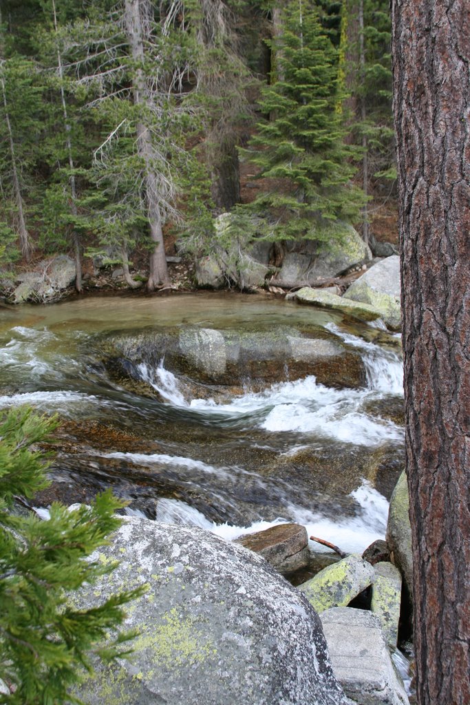
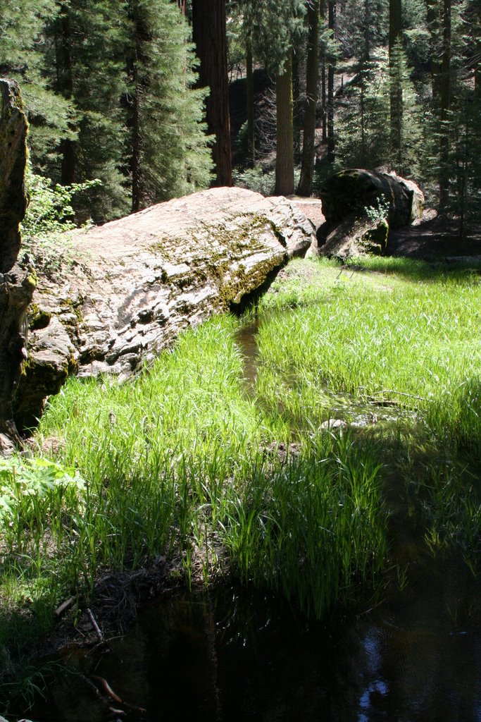
 I have to mention to my companions that hiked with me to Wolf Creek Falls - I successfully made several stream crossings over logs and did some rockhopping without even getting a toe wet! I have included a picture of one of those log bridges to the left. I did manage to see a couple of other waterfalls in Sequoia Natl Park. One of them I can't officially count because I didn't actually stop to take a picture of it. That one is called Granite Spring and it is right on the side of the Generals Highway as you drive up to the Giant Forest area of the park. The second one that I can count is unofficially named Pinewood Falls.
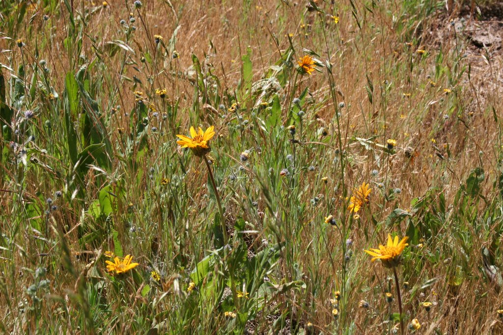
 I came around a bend in the road and was pleasantly surprised to see this little cascade. What I like about it is that it sheets 20 ft down over granite. I immediately pulled the car over and jumped out with my camera to get a couple shots.

 We got off to a late start because I was having a hard time waking up. We were at the trailhead at 9:30 which means that it was already pretty warm. It trips me out now to go to Fremont. I lived there for 20 or so years and it is so different and so the same from what I remember. It was a lovely day. Nice and sunny. I knew that it was going to get really warm though. The trail up Mission Peak that I chose was a wide fire road with pretty much no tree coverage. It was being traveled that day like it was a freeway. I don't think I have seen quite so many people on a trail... Since my goal was the top and I am in better shape than Louis is at the moment, I went on ahead at my own pace. An hour and forty minutes, around 2k feet, and three miles later I was at the top. I have to say that it didn't really look anything like I was expecting it to, although I couldn't really tell you what I was expecting. The view was great from up there, that was expected. I wish it had been a bit clearer. The hike down was hard on the knees due to the fact that the fire road was covered with loose gravel - very slippery. It was a good hike though, I burned through 1400 calories and had plenty of water to spare. I also wasn't sore at all from the excursion.
 I started out from the Mitchell Canyon gate of Mt Diablo State park. Again this trail is pretty much a fire road. That was just fine by me as there was quite a bit of mountain bike traffic and some hikers as well. It made me feel much better that there were people about and I wasn't hiking out in the boonies by myself. Cue the horror movie music... The picture to the left is from the top of Mitchell Canyon. The first two miles of the hike were pretty flat along a very pretty creek. Just like I was told, there were a lot of bird watchers along the first part of the trail. After two miles though the trail started a pretty steep climb. By mile three I was ready to turn around. I might be over training a bit right now and Friday night I had done my local training loop of 4 miles which was fine but I did it less than 12 hours before I started this hike. I was TIRED by mile three and it sucked that the trail just kept going up. I am not sure what exaclty kept me going. This sort of odd need to keep going up until I couldn't go up any more I guess. I am not sure I like that feeling. It is almost like an addiction or something. I experienced the same thing doing Mission Peak too only that hike was half as long as this one was going to be. The next two miles were spent going up and up. People on this trail were much nicer than the people on the Mission Peak trail. When you said hi, people actually returned the salutation. I even stopped to chit chat with a woman who decided to get back in to mountain biking. Boy did she pick the wrong trail to go down! I didn't envy her trek back to the parking lot, which for her was up the way she came down.
 The bad thing, or the good, depending on your perspective, with hiking Mt Diablo, is that there is a road that goes to the top of it. That means that you can really cheat to get to the top. Mitchell Canyon trail basically ends up at a campground that is most of the way to the summit of the mountain. From there you can catch the Juniper trail to get to the top. My mistake is that I missed the proper section of the Juniper trail. I ended up going the way that went down and then met up with the Summit trail. It sounds like it would be the proper way to go but what it really does is take you a mile out of your way all the while loosing precious elevation that you have already gained just to dump you at the summit trail which is 1.6 miles long that goes back up. The proper Juniper trail would have just taken me up toward the summit directly. I was getting really ticked off that I was losing elevation so when I did get to the summit trail I turned around. I was really only supposed to do a 12 mile hike according to my training schedule and I was already at 6 miles with all of that left to get back to the car.
 Washington is very pretty! (Olympic Penninsula)
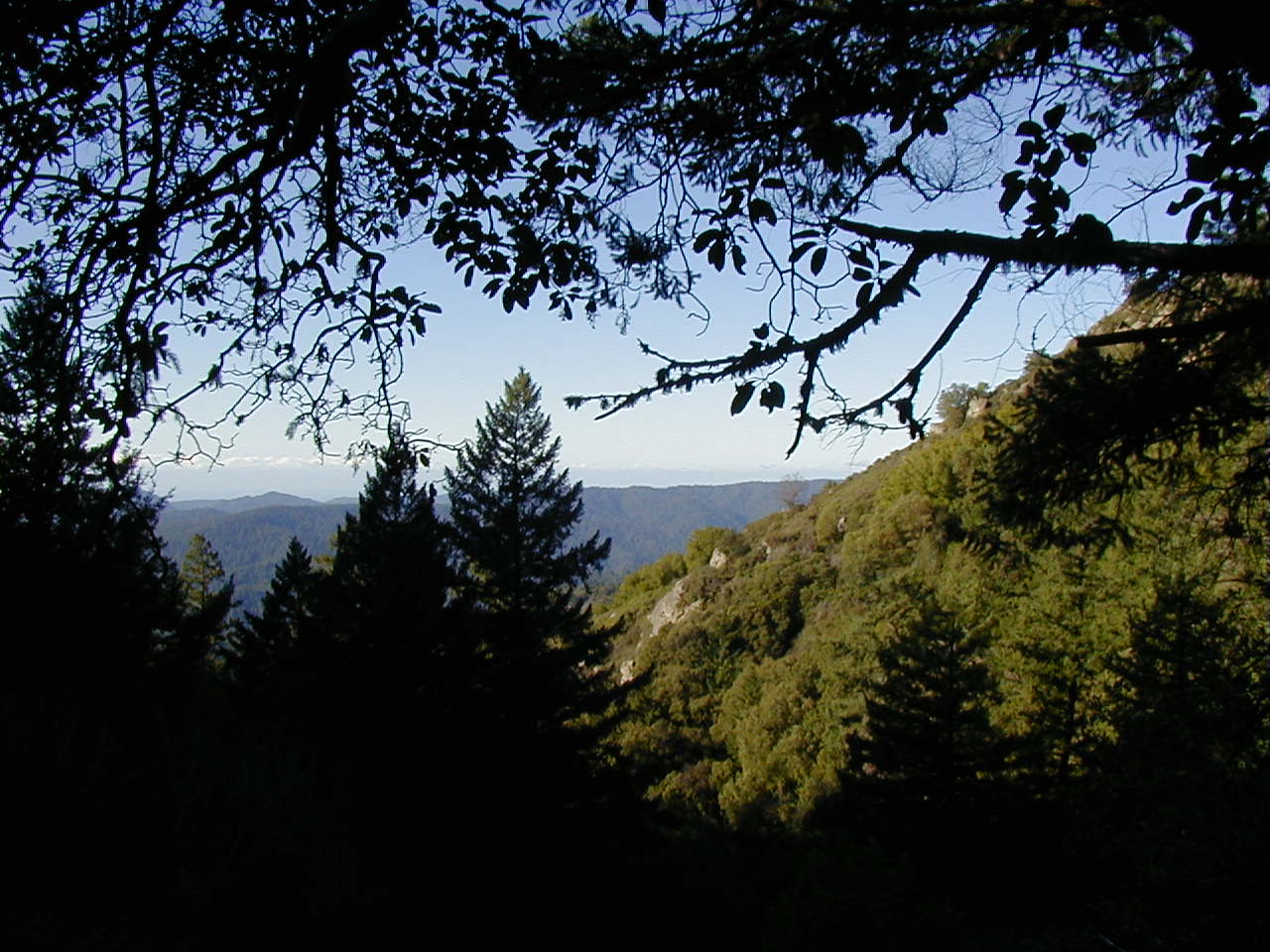 Castle Rock State Park - viewing platform looking at Monterey Bay
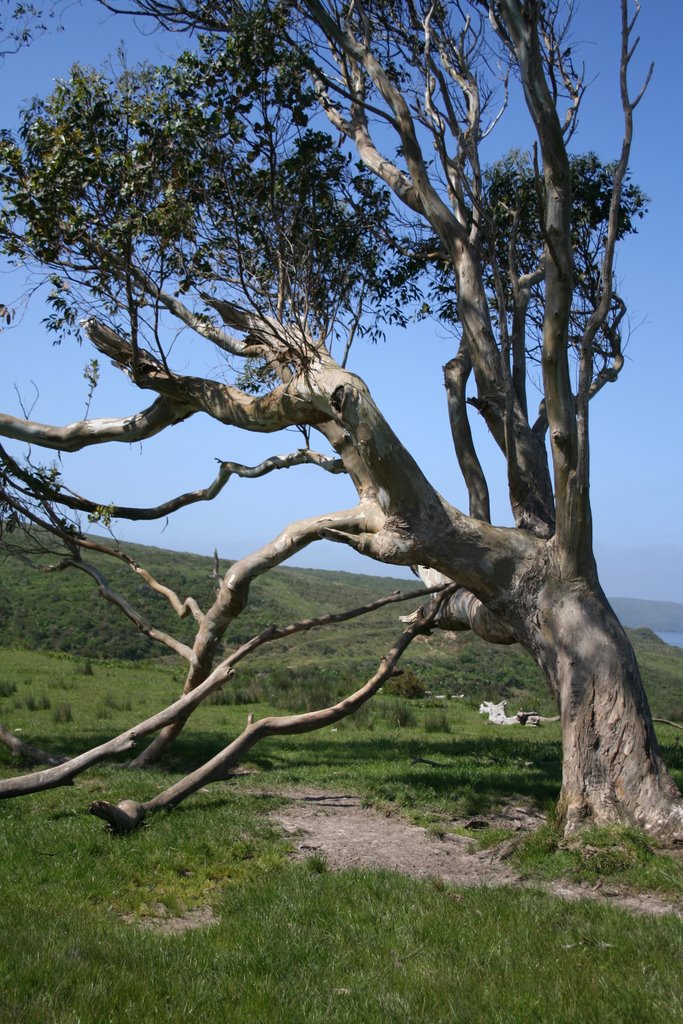 Pt Reyes National Seashore - cool Eucalyptus tree
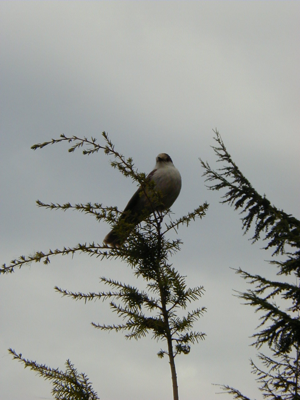 Very agressive birds at the top of Mt Walker (WA) - I think this bird was posing, I wasn't the only one to get the shot
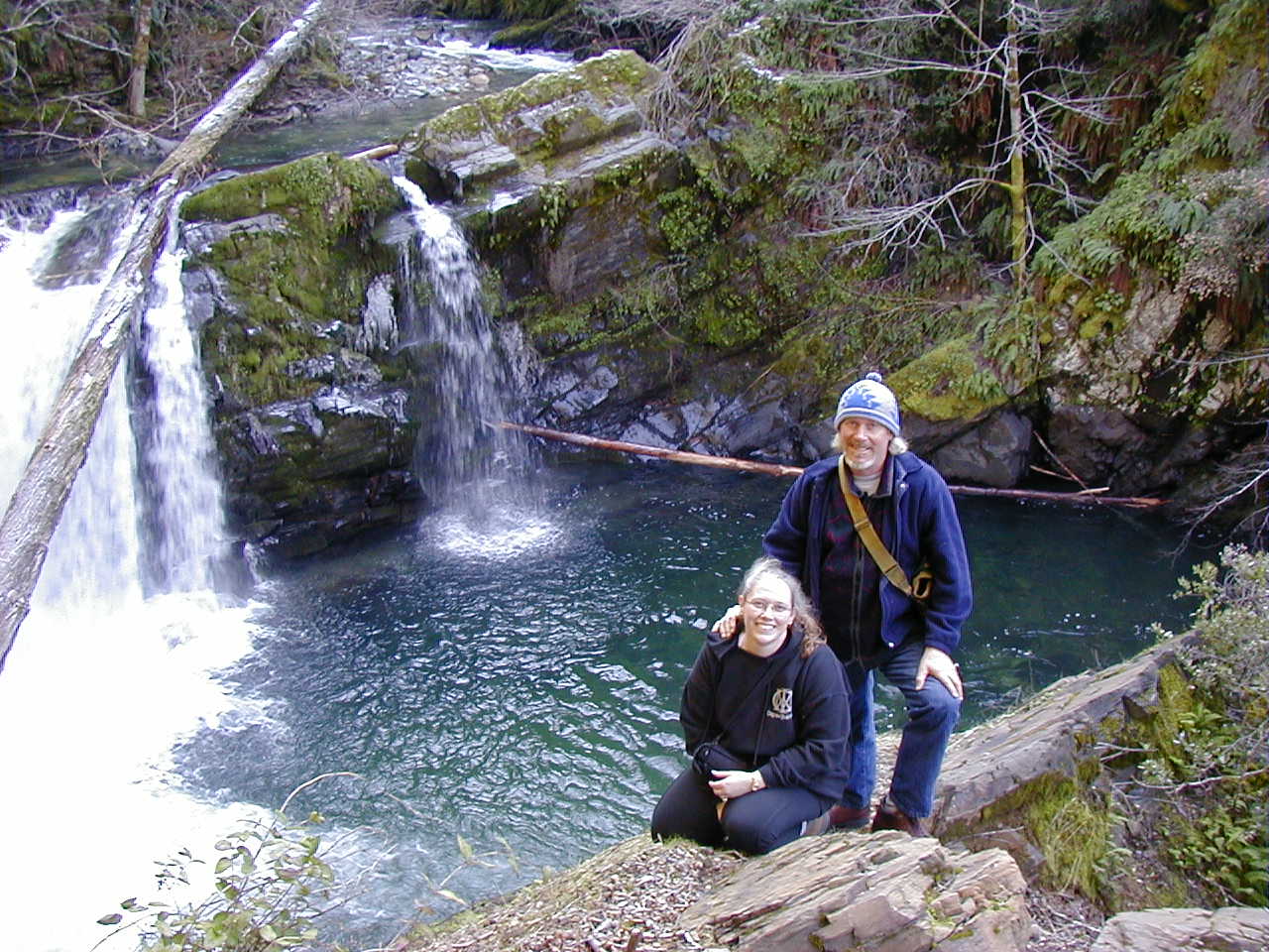 Dad and I at a waterfall on the middle fork of the Smith River.
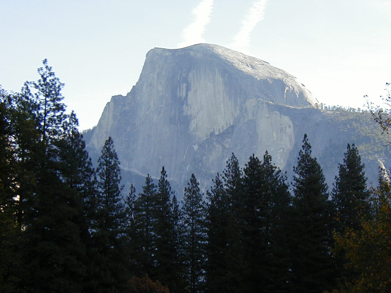 Half Dome - My goal in June
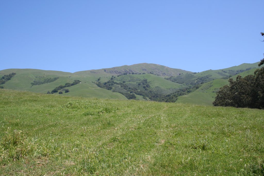 Mission Peak in Fremont, CA from the trailhead
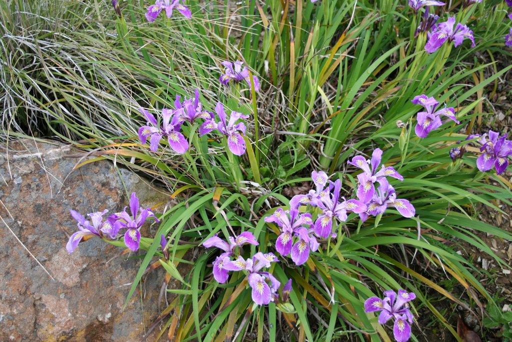 Test shot of iris with my new camera!
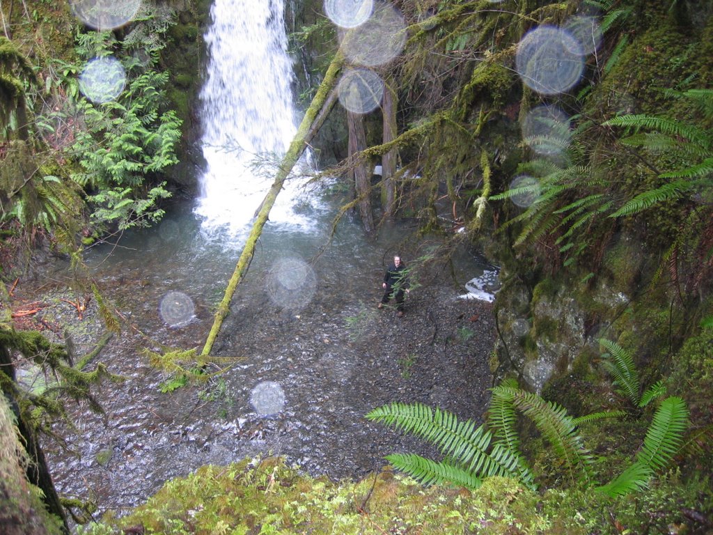 Me soaking wet at the base of Wolf Creek Falls - Photo courtesy of my friend Mark
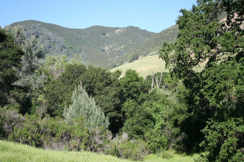 View from the trail up Mitchell Canyon while on my Mt Diablo hiking excursion
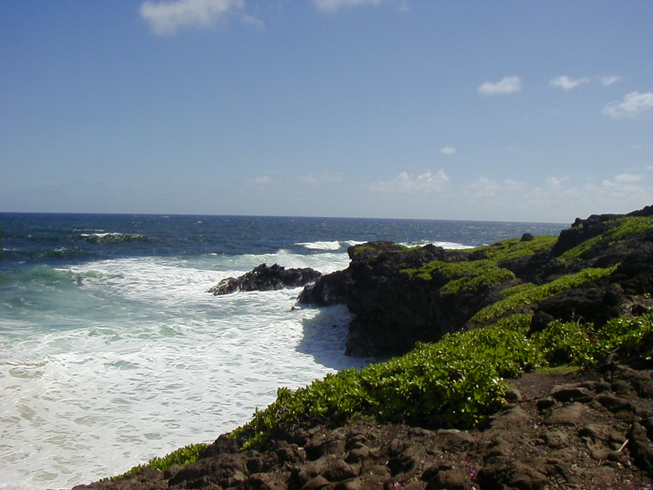 Ahhh, Maui. This was taken in Haleakala Natl Park.